Learn cinematic flying
The top-down view
When looking straight down makes the geometry readable.
Looking straight down turns the city into a map. It is useful for showing geometry, routes and the relationship between buildings — but it removes the horizon and the sense of scale.
How to get the angle
- Climb to a comfortable altitude; 200 m works for a city block.
- Pull the GIMBAL rocker down until G reads close to −90°.
- Hold a hover or fly slowly; the ground moves quickly when it fills the frame.
When it works
- Showing a street grid or a route.
- Revealing the shape of a plaza, pier or roofline.
- Creating a graphic, map-like transition.
- Emphasising symmetry or pattern.
When it does not
- A subject with no readable top surface.
- A shot that needs horizon or sky.
- Fast movement; the ground rushes past and the viewer loses orientation.
Why this works
A top-down frame changes the viewer's relationship to the place: from “inside the scene” to “above the map”. That shift is powerful when the geometry is the point, and distracting when it is not.
Common mistakes
- Stopping the gimbal at −60° and calling it top-down. The horizon is still visible; commit to the angle.
- Flying fast. Slow down; the ground has much more apparent motion.
- Forgetting the HUD. The reticle and readouts can cover the geometry you are trying to show.
Try it yourself
Fly over a distinctive block and hold a top-down hover. Then tilt slowly back to the horizon in one move. Success is a clean transition from map-like to cinematic.
Related guides
About the screenshots
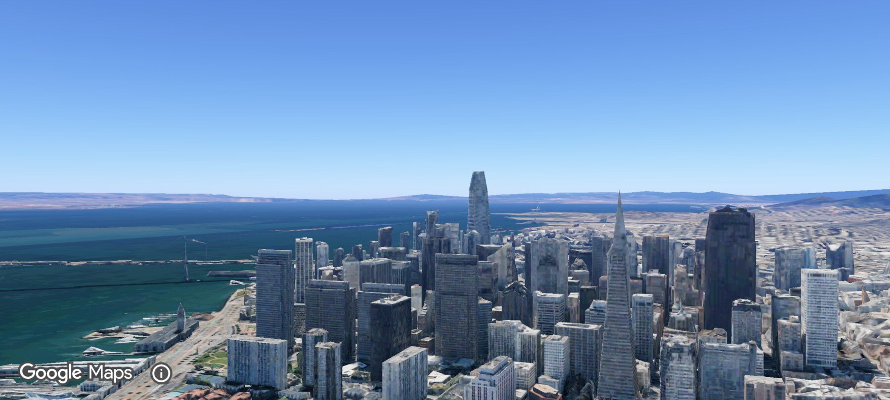
Every screenshot and demo in this documentation was captured in FPV Map over the Transamerica Pyramid and the Financial District, San Francisco.
FPV Map is a simulator. It never sends commands to an aircraft, and virtual rehearsal is not a substitute for legal checks, a site survey or safe piloting.
Found a mistake or something that no longer matches the app? Report it.