
Learn cinematic flying
The establishing shot
Introduce the Financial District before the main subject.
An establishing shot introduces a place before the story narrows. Over the Financial District, the job is to show where the viewer is and what the scale feels like.
You'll need
Normal mode and a comfortable hover. A wide view is easier than a close one.
What you'll learn
- Frame a wide view that reads as a place, not a random skyline.
- Add a slow movement that reveals scale without losing the subject.
- Record the start pose so the shot can be repeated.
Goal
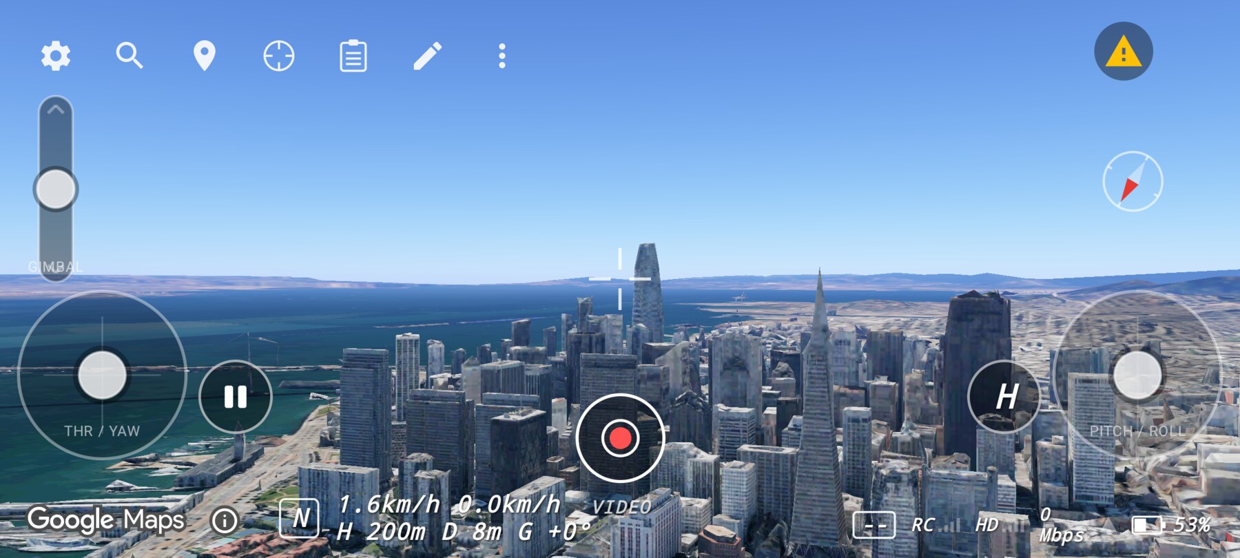
Establish the Financial District and the Transamerica Pyramid in one readable frame, then make a small movement that gives the viewer a sense of depth.
Step by step
- Search Coit Tower or another point north of downtown so the skyline sits ahead of you.
- Yaw until the pyramid and Salesforce Tower are both in frame, with the bay on one side.
- Hold a hover and check the horizon. Keep it in the upper or lower third, not through the middle of the towers.
- Add a very slow forward pitch for two seconds, then release.
- Tap Pause, then open More map tools → Shot controls and add the start pose to a shot.
What to look for
The frame should answer “where am I?” without a caption. If the skyline fills the entire frame with no foreground or context, move back or higher. If the city is a thin strip at the bottom, lower the gimbal or reduce altitude.
Why this works
An establishing shot gives the audience a mental map. Later close-ups and details land because the viewer already knows the geography. A slow forward move adds parallax and scale without turning the shot into a travel montage.
Common mistakes
- Too much sky. A horizon through the middle leaves dead space above and below.
- Moving too fast. The viewer has no time to read the place.
- No foreground. A little rooftop or hill in the lower corner adds depth.
- Cutting before the movement settles. Let the frame rest for a beat.
Try it yourself
Fly the same establishing shot at two altitudes, 200 m and 120 m. Keep the horizon in the same place in both. Success is being able to say which version better explains the city's scale.
Related guides
About the screenshots
Every screenshot and demo in this documentation was captured in FPV Map over the Transamerica Pyramid and the Financial District, San Francisco.
FPV Map is a simulator. It never sends commands to an aircraft, and virtual rehearsal is not a substitute for legal checks, a site survey or safe piloting.
Found a mistake or something that no longer matches the app? Report it.