
FPV Map and Earth Studio
FPV Map and Google Earth Studio
Where direct piloting helps, where keyframes win, and how to combine them.
FPV Map and Google Earth Studio are different tools for different jobs. Neither is a replacement for the other, and FPV Map is not an Earth Studio integration.
Two ways to create a virtual aerial move
| FPV Map | Google Earth Studio | |
|---|---|---|
| Input | Direct piloting with a real RC 3 or virtual sticks. | Timeline and keyframe authoring. |
| Strength | Discovering organic movement, exploring a place, improvising. | Precise timing, interpolation and repeatable animation. |
| Output | Live simulation, screen recording, planning data. | Rendered animation from a keyframed camera. |
| Best for | Learning feel, scouting, shot ideas. | Editorial precision and final animation. |
When direct piloting may feel easier
- You do not yet know what the shot should be.
- You want to explore a place and discover a camera move by flying it.
- You are learning spatial relationships and control feel.
- You want to rehearse the actual controller you will use on site.
When a keyframe tool may be better
- You need exact timing and repeatable interpolation.
- You need to match a music edit precisely.
- You need a final rendered animation rather than a live flight.
- You need editorial control over every frame.
A practical hybrid workflow
- Explore and discover the movement in FPV Map.
- Capture the start and end poses and write the movement instruction.
- Rebuild or refine the idea in an animation or editing tool when precision matters.
- Keep the FPV Map shot as the creative reference, not as an export.
What is not supported
- No direct import or export between FPV Map and Google Earth Studio.
- No official integration, partnership or endorsement.
- No keyframe timeline in FPV Map.
Respect the difference
Related guides
About the screenshots
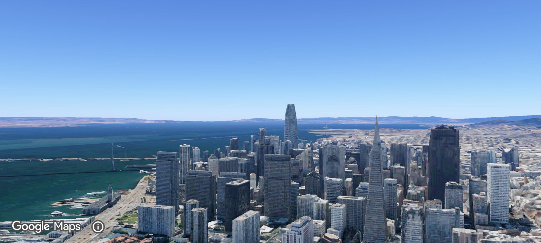
Every screenshot and demo in this documentation was captured in FPV Map over the Transamerica Pyramid and the Financial District, San Francisco.
FPV Map is a simulator. It never sends commands to an aircraft, and virtual rehearsal is not a substitute for legal checks, a site survey or safe piloting.
Found a mistake or something that no longer matches the app? Report it.